The machine underneath
The Caribbean plate is moving eastward relative to the Atlantic oceanic crust pressing against it from the other side. Where the two meet, the denser Atlantic plate bends downward and slides beneath the Caribbean — a process called subduction — and the heat and pressure generated at depth drive magma upward through the overriding plate. The result, at the surface, is the Lesser Antilles: a curving chain of islands from Saba in the north to Grenada in the south, each one either a currently active volcano or the eroded remnant of one. The arc is not metaphor or geological prehistory. It is operating now.
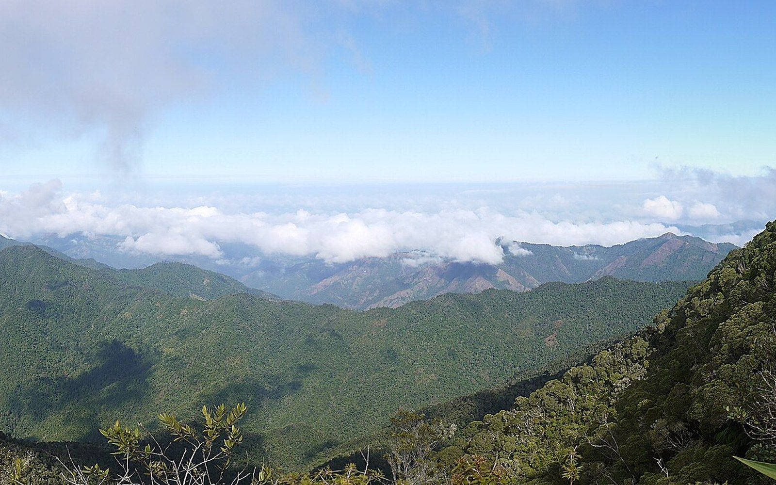
Islands that are pieces of continent — Cuba, Hispaniola, Jamaica and Puerto Rico are continental fragments rather than volcanic build-ups, which gives them size, rivers and real interiors.
Sierra Maestra panorama1 · Wikimedia Commons
The geometry of the chain produces two rows that were identified in the twentieth century and are often labelled the inner and outer arcs. The inner arc carries the live volcanic centres — Montserrat, Dominica, St Lucia, St Vincent and others — while the outer arc is older, less elevated and largely limestone-capped, its volcanic roots long since buried. This distinction matters practically: the outer islands tend to be drier and lower, dependent on desalination for fresh water, while the inner arc islands rise high enough to force moisture from the trade winds and collect orographic rain — rainfall generated when moist air is pushed upward over terrain. The geology determines the hydrology.
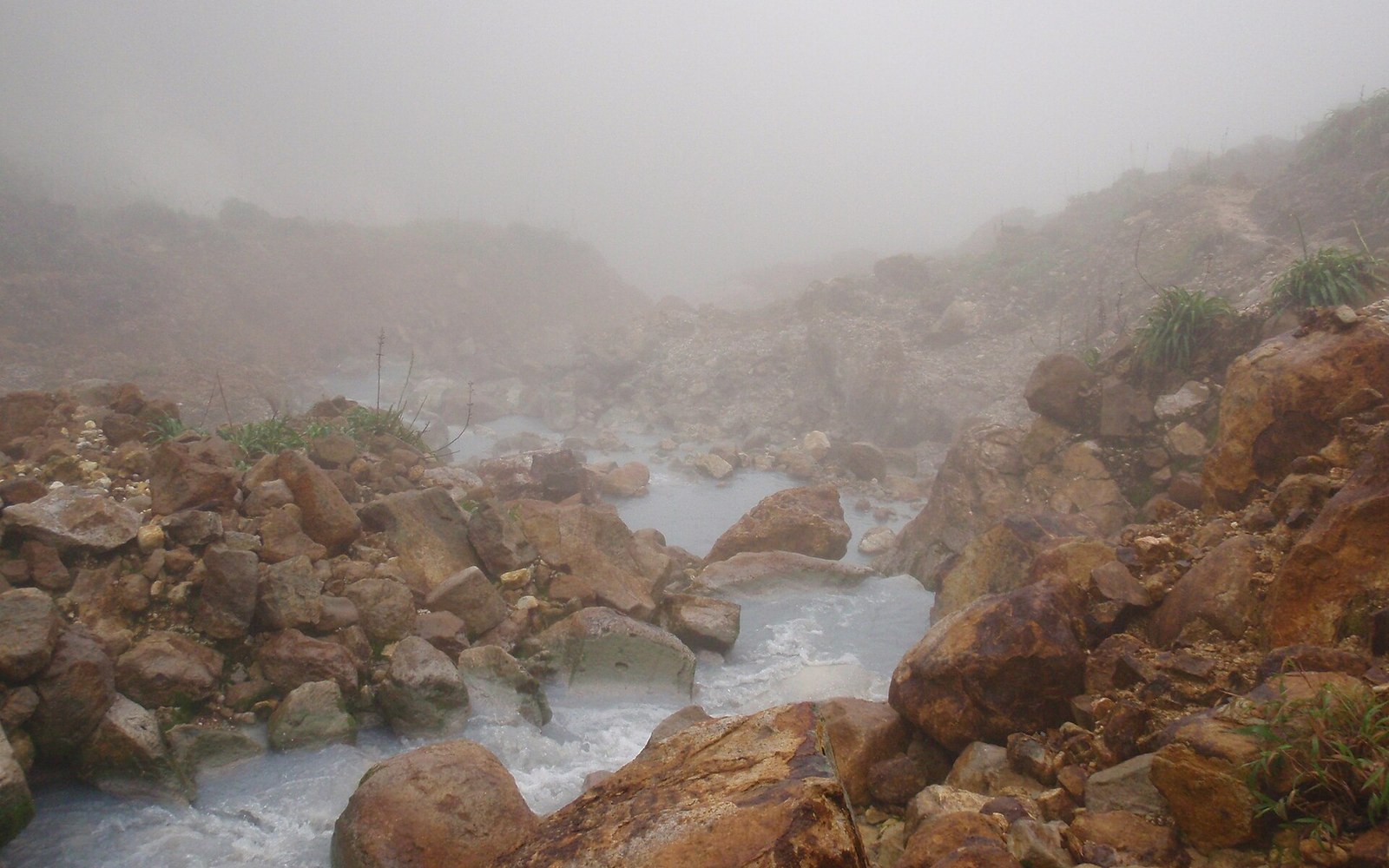
The subducting slab also feeds a geothermal system that is visible at the surface in several places. Dominica's Boiling Lake is the most dramatic expression — a flooded fumarole, one of the world's largest, sitting inside the Valley of Desolation. Sulphur springs punctuate Montserrat, St Lucia and Guadeloupe. On St Vincent, the summit crater of La Soufrière contains a lake whose temperature and chemistry shift detectably in the months before an eruption. The arc is, in this sense, legible: the ground tells you something, if you know how to read it.
Montserrat, 1995
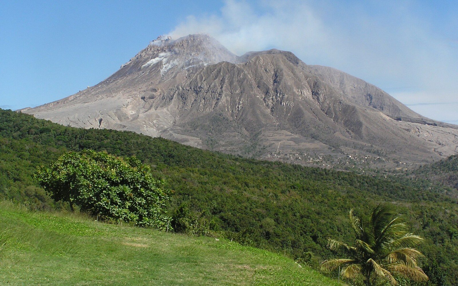
The Soufrière Hills volcano on Montserrat had been dormant for roughly four centuries when it reawakened in July 1995. What followed was not a single dramatic event but a sustained eruption that continued in phases for years, making it one of the most thoroughly documented volcanic crises of the modern era. Pyroclastic flows — fast-moving currents of hot gas and fragmented rock — descended the southern flanks repeatedly, eventually destroying the capital Plymouth and rendering the southern two-thirds of the island uninhabitable. By the time the most intense phase subsided, Plymouth had been buried under metres of ash and debris, becoming a ghost town that remains off-limits. The population, which had stood at around eleven thousand before 1995, fell to under three thousand as residents evacuated, most to the United Kingdom as Montserrat is a British Overseas Territory.
The Caribbean plate is moving eastward relative to the Atlantic oceanic crust pressing against it from the other side.
The Montserrat Volcano Observatory, established in the early phase of the crisis, became the institutional framework for monitoring and remains active. Its records document lava dome growth, collapse events, ash fall and seismicity in detail that has fed volcanological research globally. The eruption showed the particular cruelty of protracted volcanic activity: it is not the single catastrophic moment that most people imagine but an open-ended emergency in which uncertainty persists for years and displacement is not temporary but structural. The island reorganised around its northern third, which remained safe, and Plymouth stayed buried.
St Vincent, 2021
La Soufrière on St Vincent last erupted explosively in 1979, in the year of the island's independence. The 2021 eruption, which began on 9 April of that year, was the most violent in the island's recorded history. An explosive sequence lasting several days produced eruption columns reaching into the stratosphere and blanketed the northern third of the island — the agricultural heartland — in thick tephra, the collective term for all airborne volcanic material. Around sixteen thousand people were evacuated from the red zone by sea, with vessels from several Caribbean states assisting in an operation coordinated partly through regional frameworks.
The damage to agriculture was severe and concentrated. St Vincent's economy had already contracted sharply during the pandemic year; the eruption then destroyed a farming sector that included banana cultivation, root crops and tree crops, some of which take years to re-establish after heavy ashfall. The ash also contaminated water catchments and damaged roofing and infrastructure across a wide area. Unlike Montserrat, St Vincent did not lose its capital or face permanent exclusion from large parts of its territory, but the northern communities most affected were also the poorest, and the recovery was uneven.
The 2021 event was notable for the accuracy of its forecast window. Seismic swarms and deformation measurements detected at La Soufrière in late 2020 allowed scientists to identify the building crisis months in advance, and the evacuation order preceded the explosive onset by roughly a day — long enough to move most of the vulnerable population. Volcanological monitoring in the Lesser Antilles has improved considerably since the Montserrat crisis, and the 2021 St Vincent sequence demonstrated both what that investment can achieve and where the limits remain: prediction of timing is better than it was; prediction of magnitude and duration is still imprecise.
The arc continues
Between the two headline events, the arc has not been quiet. Soufrière Hills on Montserrat produced further dome collapses through the 2000s and into the 2010s. The submarine volcano Kick-'em-Jenny, north of Grenada, is monitored continuously and has erupted multiple times in the past century, most recently in the 2010s, posing a hazard to surface navigation during active periods. Guadeloupe's La Grande Soufrière has been under elevated alert at various points since the Guadeloupe volcanic crisis of 1976, when a disputed eruption forecast led to the mass evacuation of around seventy thousand people — a precautionary action that became politically contested when the anticipated major eruption did not follow.
The arc is a physical fact that none of the islands on it can set aside. It produces the terrain, the soil fertility, the geothermal energy potential and the hazard simultaneously. Volcanic soils are among the most productive in the tropics; the same mountains that buried Plymouth also built the rich agricultural land that St Vincent farmed for generations. The subduction zone that created these islands continues to do so, and understanding it as a system rather than an intermittent problem is the condition for living on any part of it.