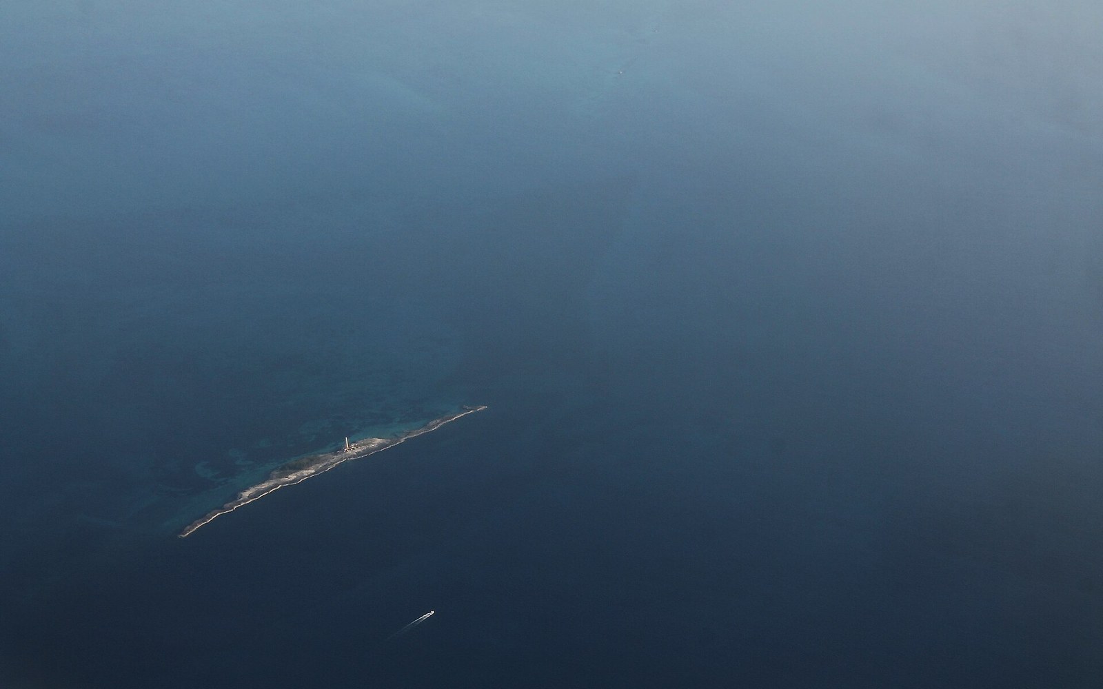
Platform, not arc
The Bahamas are not, in any strict geological sense, part of the Caribbean. They sit on the Bahama Bank, a vast shallow-water carbonate platform that formed over hundreds of millions of years as marine organisms — corals, algae, molluscs — built up calcium carbonate in the warm, sunlit shallows of the western Atlantic. The rock beneath every island is limestone, kilometres thick in places, the compressed residue of ancient sea floors. There is no volcanic basement, no subduction signature, no andesite. The chain was never erupted; it was secreted.
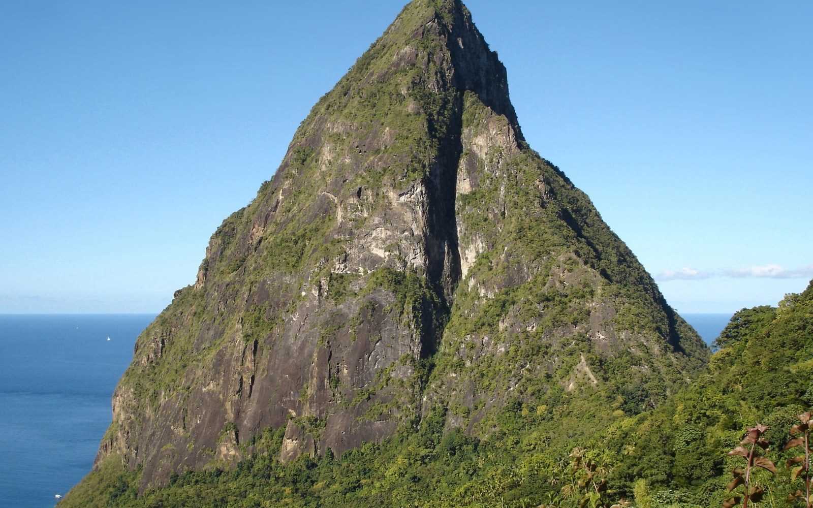
Two plugs that became a listing — St Lucia's Pitons are volcanic plugs and carry a UNESCO listing that constrains what may be built around them.
PetitPiton · Wikimedia Commons
The distinction matters because carbonate platforms behave very differently from volcanic islands or continental fragments like Cuba, Hispaniola and Jamaica. They are flat. The highest point in the entire Bahamian archipelago is a modest hill on Cat Island, under 64 metres above sea level — a figure confirmed by the Shuttle Radar Topography Mission data held by NASA's Earthdata service. Nothing about that landscape forces rain from passing cloud. Orographic lift, the mechanism by which mountainous islands like Dominica wring hundreds of inches of rainfall from trade winds, simply does not operate here. The Bahamas receive respectable rainfall by Caribbean standards, but it arrives from convective storms, not terrain, and it falls unpredictably.
Limestone and the freshwater problem
Beneath that flat limestone lies an aquifer, but not a reliable one. The rock is porous and karstic — riddled with voids, sinkholes and conduits through which saltwater infiltrates freely. The freshwater lens that sits atop denser marine groundwater is thin, easily depleted and easily contaminated by over-extraction or storm surge. Every inhabited island in the Bahamas must manage this lens carefully, and the larger, more populous ones have long supplemented it with desalination. New Providence, which contains Nassau and roughly two-thirds of the national population, depends substantially on reverse-osmosis desalination for its municipal supply — a dependency shared with other low-lying limestone islands across the region, but more acute here because the platform offers no high-ground catchment as a fallback.
This same karstic geology produces the Bahamas' most dramatic feature: the blue holes, submarine sinkholes that plunge through the platform into flooded cave systems of extraordinary depth and scientific interest. Dean's Blue Hole on Long Island is among the deepest known marine sinkholes on earth, and the cave systems of Andros have yielded fossil fauna — including remains of the Cuban crocodile, now extinct in the Bahamas — that have helped reconstruct Pleistocene ecology across the western Atlantic margin.
Atlantic, not Caribbean
The political geography and the physical geography of the Bahamas pull in different directions. The islands are members of CARICOM, full participants in the regional integration project, and their historical and economic ties to the Caribbean basin are real. But the Atlantic Ocean surrounds them; the Caribbean Sea does not reach this far north. The nearest Caribbean waters lie southeast, past Cuba and Hispaniola. Oceanographically and geologically, the Bahamas are a detached piece of the North American carbonate margin, more cousin to Florida's limestone shelf than to the volcanic arc that runs from Saba to Grenada.
The economic consequences follow the geology faithfully. No volcanic soils means no historic plantation agriculture of the kind that shaped most of the Lesser Antilles; the plantation economy arrived in attenuated form, concentrated on a few larger islands with sufficient soil accumulation to support it. The modern economy rests on financial services and high-end tourism built on the platform's own products: the sand, the shallow turquoise water, the visibility that only a carbonate seafloor provides. The Bahamas sell the geology without naming it.